One week you’re threading the needle between HP beasts on the Plains, radar lit up with hooks from Texas to Nebraska. The next, it’s nothing but blue sky and a smothering ridge. Or worse—a surprise cool-season outbreak tears through Dixie after months of quiet.
When the Atmosphere Slams on the Brakes
These pattern flips are the moments where storm chasers either adapt or get blindsided.
Climate patterns—ENSO, MJO, and their kin—don’t change overnight. But their impacts on mid-latitude weather can pivot fast, forcing you to completely change how you chase, what you watch on radar, and how you stay safe.
This is a tactical guide to surfing those sudden turns without wiping out.
What Is a Pattern Flip?
A pattern flip is a rapid reorganization of the large-scale jet stream and height fields:
- Western trough to Western ridge.
- Active Plains storm track to suppressed flow and cap domination.
- Quiet Gulf Coast to explosive cool-season severe.
Often triggered or influenced by:
- Shifts in the MJO phase.
- Strong Rossby wave breaking events.
- Changes in stratospheric-tropospheric coupling.
For us on the ground, it feels like someone hit a switch.
Climate Signals that Hint a Flip Is Coming
1. MJO on the Move
The MJO is a major pattern-flip clue, especially in shoulder seasons.
Watch for:
- MJO leaving phases associated with Western U.S. troughing.
- MJO entering phases historically linked to North American ridging.
Result: Your once-active Plains conveyor belt can shut down in a matter of days.
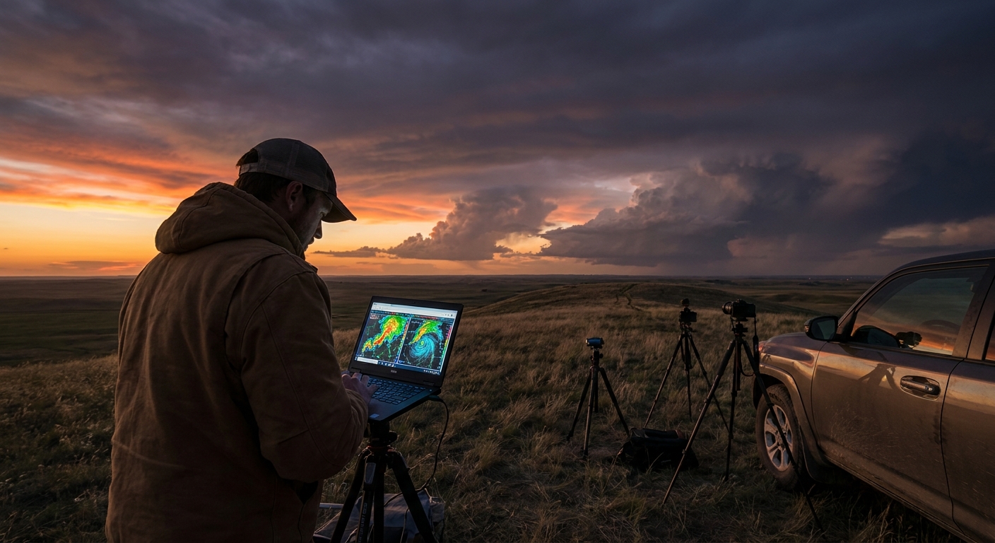
2. Ensemble Mean Height Anomalies Shifting
Long before deterministic models scream “mega ridge,” ensembles start hinting:
- 500 mb height anomalies trending positive over the central U.S.
- Negative anomalies retracting from the West.
This is often your 7–10 day warning that the atmosphere is about to lock the lid.
3. Jet Streak Realignment
Subtle but deadly for chasing:
- Jet streaks shifting poleward.
- Consolidation of the jet over Canada.
Deep-layer shear drops; storms become disorganized or nonexistent.
Tactical Response: Plains Ridge Flip
Scenario: You’ve been feasting on a La Niña-fueled Plains bonanza. Then guidance locks in a sprawling central U.S. ridge.
Forecasting Adjustments
- Expect:
- Suppressed ascent.
- Weak frontal systems.
- An increasingly hostile cap.
- Watch for:
- Marginal upslope events on the High Plains where orographic lift can fight the ridge.
- Northern Plains or Canadian Prairie targets if the jet retreats north.
Chasing Adjustments
- Do not chase every marginal blip.
- The ridge wants to kill your towers.
- Save your resources for legitimate cap breaks with backed surface flow.
- Shift terrain, not just latitude.
- High-based, sculpted storms can still occur near the mountains even in ridge regimes.
- Embrace structure days over tornado days.
- Watch radar for isolated, long-lived updrafts near terrain or subtle boundaries.
- These can still produce hailers and photogenic lightning.
Safety Considerations
- Ridge patterns can tempt risk-taking from boredom.
- Stay disciplined about:
- Road quality (especially gravel in remote High Plains).
- Lightning safety when you’re tempted to linger under high-based cells.
Tactical Response: Quiet to Violent in Dixie
Scenario: A long, quiet period in the Southeast ends abruptly as the pattern flips—jet energy digs in, Gulf moisture surges, and cool-season shear explodes.
Forecasting Adjustments
Look for:
- Strong, negatively tilted shortwaves diving into the lower Mississippi Valley.
- 60–70 kt 500 mb flow over rich surface dew points.
- 850 mb jets screaming at 40–60 kt.
Climate context:
- El Niño or neutral backgrounds with active subtropical jet.
- MJO phases favoring Southeast storminess.
Chasing Adjustments
- Shift from Plains thinking to Dixie reality.
- Storm motion is fast—often 40–60+ mph.
- Terrain and trees obliterate visibility.
- Radar-first strategy.
- You will not reliably see wall clouds or funnels in time.
- Live in velocity, SRV, and CC products.
- Choose vantage points, not intercept points.
- Target open fields, river valleys, or known clearings.
- Use greater stand-off distance—do not tuck under the notch.
Safety Considerations
- Strict no core punching policy.
- Hard nightfall stop time—or even earlier, depending on terrain.
- Extra margin for QLCS tornadoes and rapidly evolving circulations.
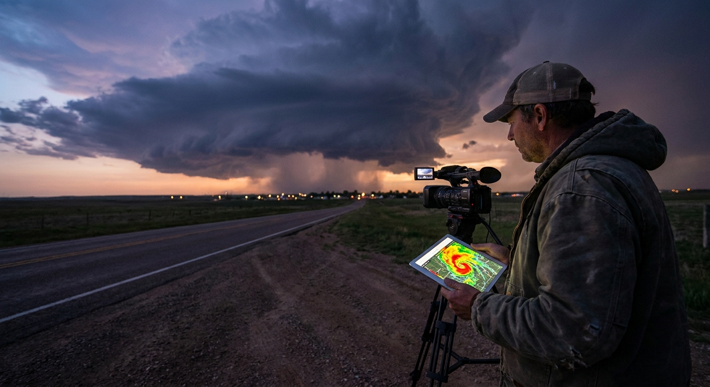
Pattern Flips on Radar: What Changes?
From Discrete to Linear
When the pattern flips from sharply amplified troughs to broad southwest flow or deamplifying waves:
- Forcing spreads out.
- Storms struggle to remain discrete.
Radar tells the tale:
- Dryline supercells evolve into messy clusters.
- Lines bow out, with stronger forward-propagating segments.
Tactical response:
- Stop chasing like it’s a discrete day.
- Focus on bowing segments and embedded circulations.
From Messy to Pristine (Rare, but Golden)
Occasionally, a flip goes from chaotic to clean:
- Before the flip: messy MCSs, grungy storms, little structure.
- After a break: a sharper trough, more defined boundaries, discrete initiation.
Radar shift:
- Morning junk convection is absent or minimal.
- Afternoon towers explode into isolated cells along focused convergence.
Tactical response:
- Don’t let yesterday’s mess bias you toward staying home.
- Trust the reloaded environment if soundings and mesoscale analysis confirm.
Case Study: The Cap Strikes Back
I remember a late May season that went from daily supercells to absolute lockdown in less than a week.
- Ensembles started hinting at rising heights over the Plains.
- The jet began nudging north.
- Surface temps soared, but mid-level temperatures warmed even faster.
The result:
- Multiple "promising" days with 70°F dew points and huge CAPE.
- Cu fields struggling, flattening, and dying by late afternoon.
Radar? Barren.
Tactical choice:
- We bailed early from chasing marginal dryline attempts.
- Shifted focus to one well-timed frontal setup at the northern fringe of the ridge several days later.
That day, a lone storm finally punched the cap at the boundary–ridge interface.
Radar showed:
- A solitary supercell with textbook structure.
- A long-lived mesocyclone cycling multiple times.
One great day, salvaged from a week of nothing, because we read the flip and repositioned instead of chasing ghosts.
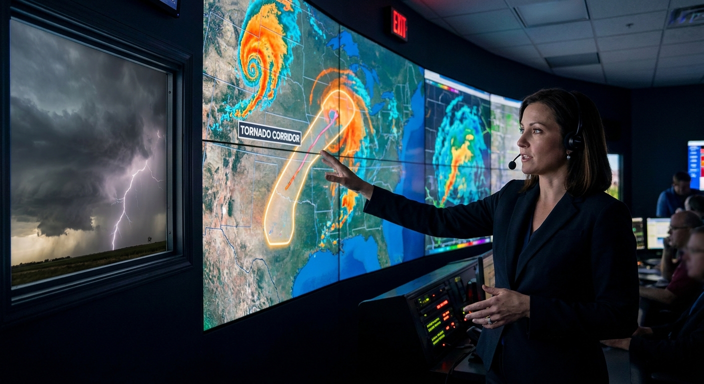
Chase Team Protocol: Handling Pattern Whiplash
Pattern flips create not just forecast chaos, but team tension and fatigue. Use structured protocols:
Preseason Agreement
- Decide under what conditions you’ll shift regions entirely (Plains → Dixie, etc.). - Agree on maximum daily drive distances for marginal setups.
Flip Recognition Meeting
- When ensembles and MJO suggest a major change, hold a short team debrief. - Re-evaluate: - Target regions. - Risk tolerance. - Budget and schedule.
Radar Discipline During Flips
- Assign roles: one person for radar and nowcasting, one for navigation, one for visual spotting. - In rapidly changing storm modes, clear communication prevents dangerous last-second turns.
Evergreen Tactics for a Changing Climate
As the climate warms, we’re seeing hints of shifts in classic patterns:
- Earlier or later seasonal peaks.
- More frequent off-season events.
- Changes in storm mode climatology in some regions.
But one thing remains: the atmosphere still organizes itself into patterns, and those patterns still flip.
Your evergreen checklist for surviving pattern flips:
- Watch climate signals (ENSO, MJO) as context, not prophecy.
- Lean on ensembles for early flip detection.
- Be ready to:
- Change regions.
- Change storm mode expectations.
- Change safety rules to match new hazards.
Because in the end, the atmosphere doesn’t care how far you drove or how long you waited. When it flips, it flips.
Your job is to adapt faster than the sky changes—and to live to chase the next pattern.