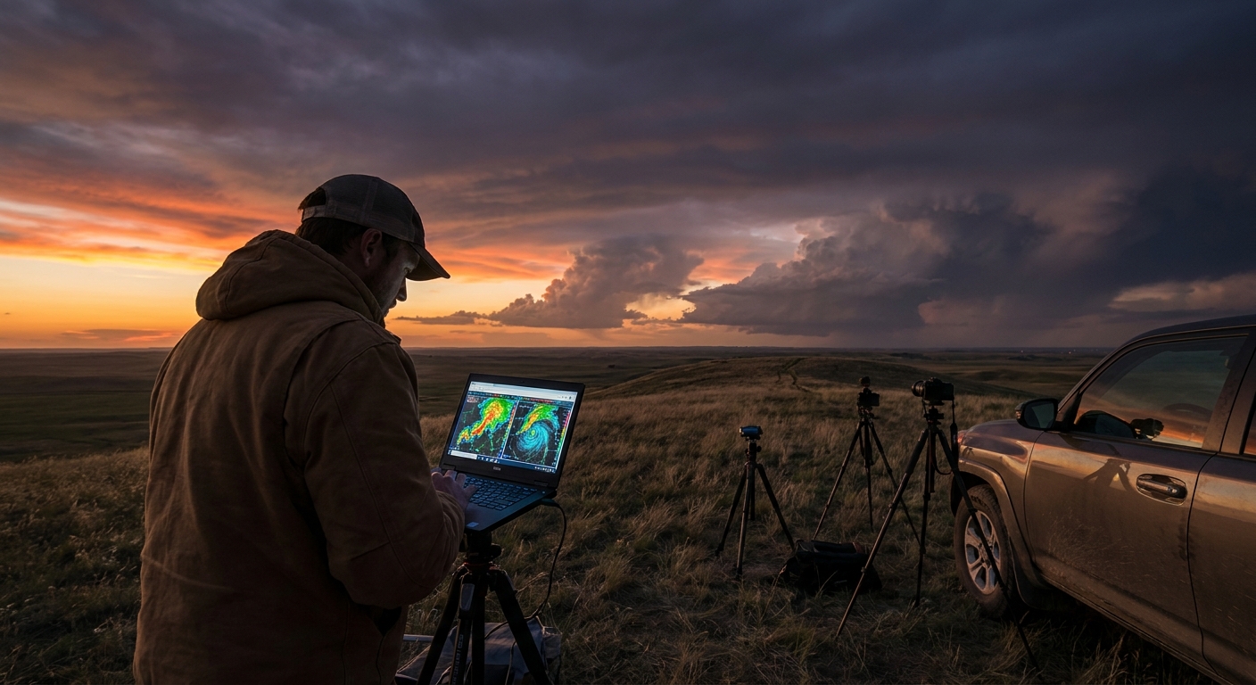
Every spring, the same questions pop up in chase forums: “Is this going to be a big year?” and “Should I focus on the Texas Panhandle or the High Plains?” The answers are never simple, but they’re not guesswork either. The atmosphere quietly hands us a set of blueprints in the form of climate oscillations.
The Hidden Blueprints Behind Supercell Alley
For those of us who obsess over skew‑Ts and radar velocity, these oscillations are the next step: a way to predict where the most chaseable supercell corridors are likely to set up weeks to months in advance.
This is not fortune-telling—it’s pattern reading.
Meet the Architects: ENSO, NAO, and MJO
Several major oscillations sculpt the background state of the atmosphere. Three matter a lot to chasers:
1. ENSO (El Niño–Southern Oscillation)
We’ve talked about this one, but from a corridor standpoint:
- La Niña springs are famous for:
- Repeated troughs entering the western U.S.
- Strong southwest flow aloft over the Plains.
- A well-defined I‑35 supercell corridor from central Texas to Kansas.
- El Niño springs often:
- Shift greatest storm frequency south/east.
- Increase cool-season activity in the lower Mississippi Valley and Southeast.
2. NAO (North Atlantic Oscillation)
The NAO influences downstream ridging or troughing over eastern North America.
- Negative NAO (blocking near Greenland):
- Favors deeper eastern U.S. troughing.
- Can enhance cool-season severe and amplify storm systems.
- Positive NAO:
- Tend toward a more zonal pattern.
- Can sometimes favor a more progressive storm track.
3. MJO (Madden–Julian Oscillation)
The MJO is like a tropical drumbeat, sending waves of enhanced convection eastward around the globe.
- Certain MJO phases correlate with increased western U.S. troughing 10–20 days later.
- That downstream troughing can prime the Plains for multi-day severe outbreaks.
For a chaser, MJO is a 2–3 week early warning system that the pattern might flip from dead ridge to explosive southwest flow.
How-To: Turn Climate Oscillations into Chase Targets
Step 1: Build a Preseason Climate Picture
About 1–2 months before peak season:
Check ENSO phase
- NOAA CPC, BoM, ECMWF seasonal. - Note whether the forecast leans El Niño, La Niña, or neutral.
Look at seasonal jet stream anomaly forecasts
- Focus on 250 mb wind anomalies over North America. - Areas of persistent anomalous westerlies or southwesterlies often highlight storm corridors.
Note NAO climatology
- Seasonal forecasts of NAO are less reliable, but recurrent negative periods can prime eastern U.S. troughing.
Use this to sketch a first-pass target map:
- Circle regions with repeated positive wind anomalies aloft and good Gulf access.
- Identify probable transition zones—dryline and warm front areas.
Step 2: Watch MJO and Ensemble Means (2–4 Weeks Out)
As spring ramps up:
- Track MJO phase diagrams (CPC, BOM).
- Monitor GEFS/ECMWF ensembles for emergent longwave patterns.
When you see:
- MJO entering phases that historically favor western troughing.
- Ensemble means carving a persistent 500 mb trough over the West.
That’s your upgrade from vague seasonal lean to actionable chase window.
Mark a 7–10 day period where the Plains may light up.
Step 3: Refine with Synoptic Signals (5–10 Days Out)
Once deterministic models start resolving individual systems:
- Look for repeating setups:
- Ejecting shortwaves from a western trough.
- Strong lee cyclones in eastern CO/NM.
- Moisture surges from the Gulf.
- Identify likely corridors:
- Dryline from west TX into OK/KS.
- Warm front draped across KS/MO/IA.
At this point, your climate-informed sketch should align with actual synoptic charts. When they agree, confidence soars.
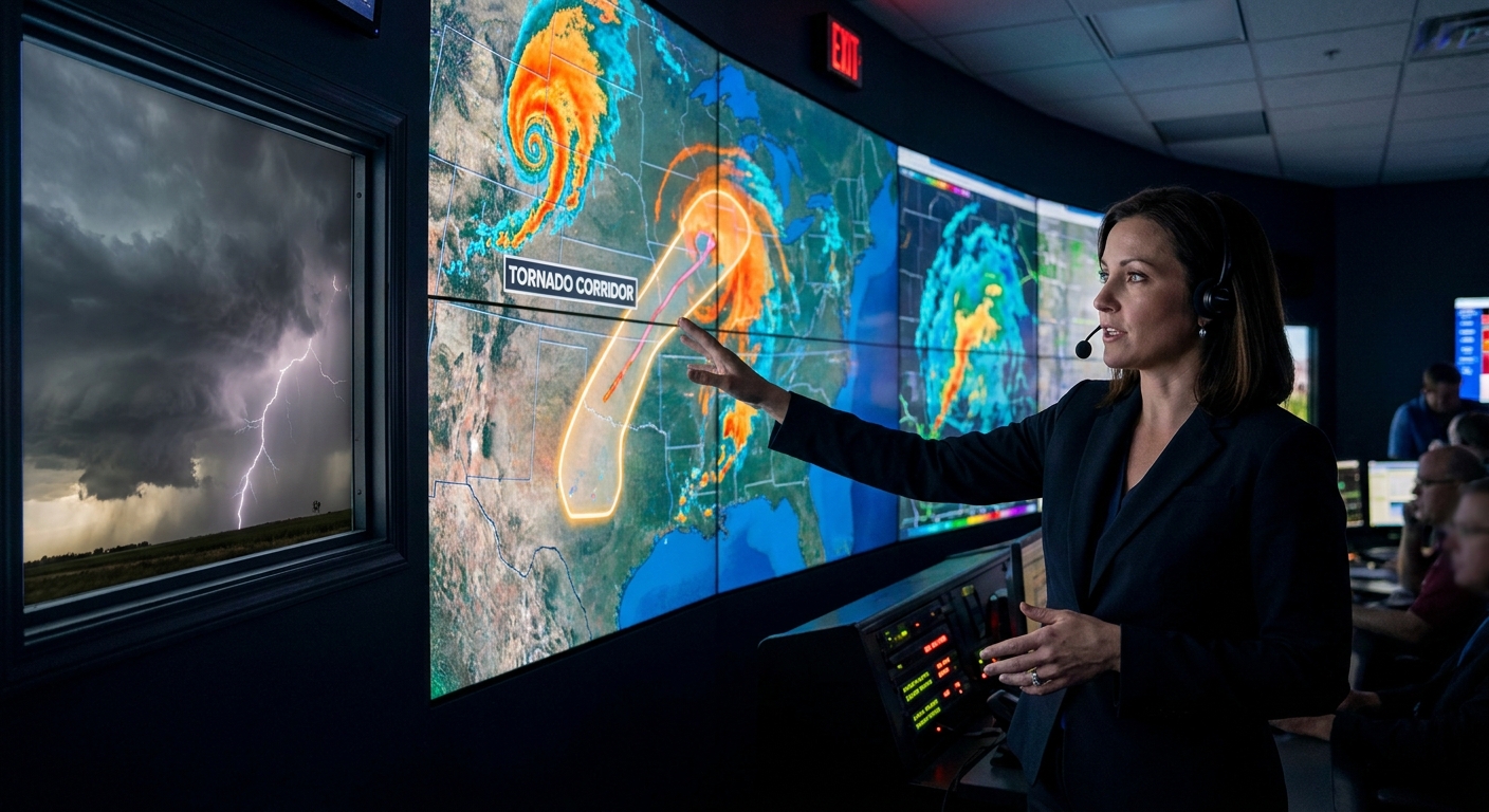
Radar Reality: Pattern-Specific Storm Signatures
Different background patterns tend to favor different radar signatures over time.
Pattern A: Western Trough + La Niña (Classic Plains Run)
Radar signatures you’ll often see:
- Long, discrete supercells firing off a well-defined dryline.
- Persistent hook echoes with clean inflow notches.
- Large, steady mesocyclones showing classic velocity couplets.
On these days, strategy revolves around:
- Picking the right storm along the corridor.
- Studying mesocyclone evolution and cycling.
- Monitoring boundary interactions leading to sudden tornado intensification.
Pattern B: Southeast Trough + El Niño (Dixie Mode)
Radar signatures differ:
- Long QLCS segments with bowing lines.
- Embedded circulations—small, intense couplets suddenly spinning up.
- Quick TDS appearance in heavy rain.
Here, radar use becomes more surgical:
- Tight zoom on velocity.
- Short tilt scans to catch low-level rotation.
- Constant assessment of storm motion vs. road options.
Climate oscillations set the storm canvas; radar paints the detail.
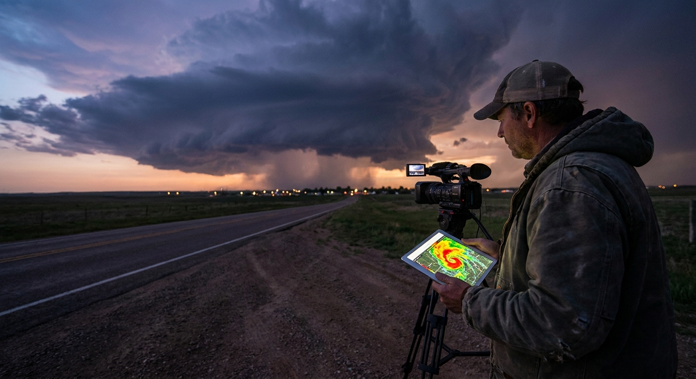
Field Narrative: A Corridor Foretold
One May several years ago, La Niña was in place and the MJO had just moved through a phase associated with enhanced U.S. troughing. Ensemble means screamed a western U.S. trough and a powerful, multi-day severe event.
Two weeks out, I circled a broad swath from the Texas Panhandle through central Kansas as a high-probability corridor.
Ten days out, deterministic models honed in on:
- A deep Colorado low.
- A sharp dryline in the TX/OK Panhandle.
- Strong mid-level flow overspreading 65–70°F dew points.
On the day, radar showed towering convection firing along the dryline near the New Mexico border. One storm quickly dominated, its reflectivity blossoming into a classic hook.
Velocity scans revealed:
- Rapidly tightening low-level mesocyclone.
- Deep, persistent rotation column.
We intercepted on a paved north-south road as the mesocyclone cycled, dropping multiple tornadoes, one a significant cone.
That entire chase—down to the county we targeted—was rooted in a decision made weeks earlier when climate oscillations pointed to a likely corridor.
Safety Within the Blueprint
Big-picture patterns can create an illusion of certainty. That’s dangerous.
Safety principles that never change:
Climate = Bias, Not Destiny
- Just because your corridor is favored doesn’t mean today will deliver. - Don’t override day-of red flags (messy storm modes, poor visibility, bad road networks) just because the season is “supposed to be big.”
Respect Transitional Zones
- The richest dynamics often sit near sharp boundaries. - Those same zones can bring storm mergers, HP transitions, and rapid hazard escalation.
Plan Lawful, Safe Positioning
- Use climate knowledge to be in the right region, not to justify aggressive maneuvers. - Keep local emergency management and residents in mind; corridors often mean repeat impacts.
Building Your Own Climate–Chase Playbook
To make this evergreen, practical, and repeatable, build a simple workflow:
Offseason Notebook
- Record ENSO phase and PDO hints. - Sketch likely favored regions on a map.
Preseason Update (1–2 Months Out)
- Add seasonal jet anomalies. - Highlight 2–3 highest-confidence corridors.
Weekly Updates in Season
- Note MJO phase, ensemble patterns. - Flag upcoming 7–10 day windows.
Daily Logs
- Briefly record: - Target choice. - How it aligned with the big-picture pattern. - Radar evolution and safety decisions.
Over a few years, you’ll see it: recurrent highways of supercells that match repeating climate configurations.
Conclusion: The Patterns Above the Patterns
Most chasers learn to read individual setups—the triple point, the dryline bulge, the warm front kink. Level up by reading the patterns that decide where those setups even happen.
Climate oscillations don’t remove uncertainty, but they tilt the odds. For the storm chaser who lives for that first updraft tower punching the cap, they’re the closest thing we have to a season-long treasure map.
Use them to get in position. Let radar and soundings do the rest. And never forget: every perfect supercell corridor started as a subtle shift in ocean temperatures half a world away.