Stand on any Great Plains gravel road in May and it’s easy to believe the atmosphere is chaos incarnate. But those towers of convection are not random. They’re the surface ripples of enormous climate patterns—planet‑scale rhythms that decide whether our chase season is a windfall of classic supercells or a graveyard of capped blue skies.
Introduction: The Sky Is Not Random
For storm chasers and weather enthusiasts, understanding these climate patterns isn’t academic trivia. It’s the difference between booking your vacation days in a bust year and positioning yourself beneath a sculpted LP supercell when the sky finally tears open.
This is the planet’s pulse—and if you can read it, you can read your chase future.
The Big Three: ENSO, PDO, and the Jet Stream
ENSO: El Niño, La Niña, and Your Tornado Count
The El Niño–Southern Oscillation (ENSO) is the heavy hitter. It oscillates between:
- El Niño – Warmer-than-normal water in the central/eastern equatorial Pacific
- La Niña – Cooler-than-normal water in the same region
- Neutral – Neither strongly warm nor cool
These sea surface temperature (SST) anomalies reshape the position and strength of the jet stream, which in turn controls the tracks of storm systems across North America.
La Niña years often mean:
- Stronger, more southerly subtropical jet early in the cool season
- Enhanced moisture return from the Gulf of Mexico
- More frequent shortwave troughs sweeping the Plains
Result: Many prolific severe weather seasons—especially in the Southern and Central Plains—have occurred in La Niña or La Niña‑leaning years.
El Niño years often mean:
- Strong subtropical jet overrunning the southern U.S.
- Heavier storm action focused south and east
- More messy, high-precip setups and cool-season severe events
Result: Chasing may shift from classic Plains structure to Dixie Alley, cool-season tornadoes, and more nocturnal/high-shear, low-CAPE environments.
PDO: The Slow Background Beat
The Pacific Decadal Oscillation (PDO) changes more slowly, over decades, but it modulates the background flavor of ENSO:
- Positive PDO can amplify El Niño impacts
- Negative PDO can enhance La Niña-like patterns
For chasers, PDO is like the long-term “tilt” of the playing field. You feel it over many seasons—where the active corridors tend to set up, which months are consistently better.
Jet Stream: The Highway of Storms
All of this ultimately feeds into jet stream structure:
- Where does the polar jet dig deepest?
- How often do we see southwest flow aloft versus zonal or blocked patterns?
- Are troughs sharp and progressive, or broad and sluggish?
As a chaser, you live and die by the alignment of jet streaks, surface lows, and moisture return. Climate patterns set the stage for that alignment, weeks to months ahead of time.
Translating Climate Patterns into Chase Expectations
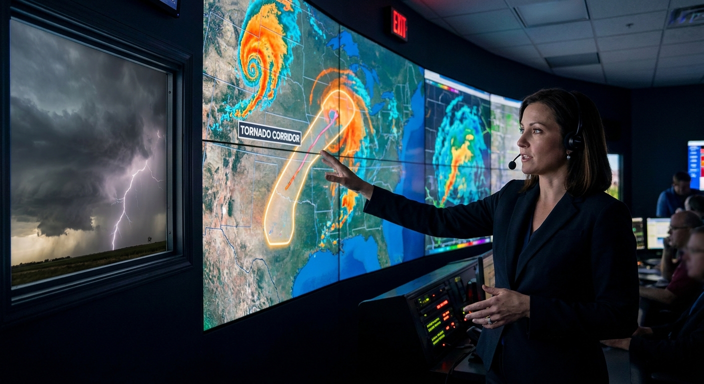
Seasonal Outlooks: The 30,000‑Foot View
Before a season starts, I’m buried in:
- ENSO forecasts from CPC and international centers
- PDO phase and trends
- Long-range ensembles (CFS, ECMWF seasonal)
I’m not trying to forecast exact chase days. I’m asking:
- Will the southern or central Plains be favored?
- Will we lean toward active troughing or persistent ridging?
- Are we looking at a late-season or early-season peak?
- Strong southwest flow over the Plains
- Repeated lee cyclogenesis
- Multiple classic dryline setups
Example: A La Niña spring with a negative PDO and persistent western troughing screams:
That’s when you clear your May.
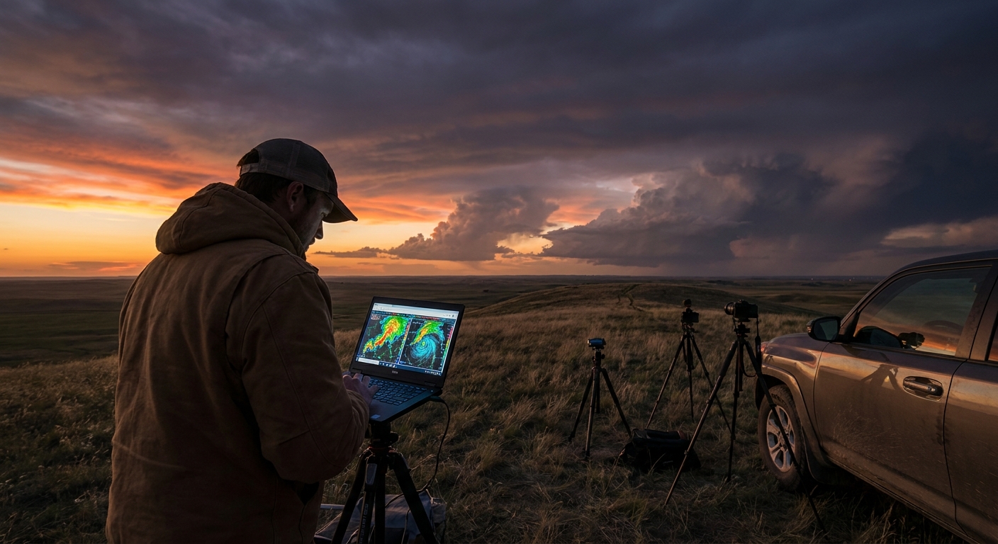
Intraseasonal Patterns: MJO, Blocking, and Ridges of Doom
On the 2–4 week range, I watch:
- MJO (Madden–Julian Oscillation) – convective waves in the tropics that alter jet stream patterns
- Blocking highs over Greenland or the North Pacific
- The dreaded central U.S. death ridge
MJO phases that favor western U.S. troughing and central U.S. southwesterlies can “turn on” a dead season. Conversely, persistent ridging can smother chase potential for weeks.
This is where urgency kicks in: when you see a high-confidence pattern shift toward western troughing in ensemble means, you start planning time off—because the window might only last 7–10 days.
Field Notes: When Patterns Become Reality
Spring 2019 in the central Plains was a textbook case of pattern meeting pavement. Repeated western troughs carved into a moisture-rich Plains, with the subtropical jet phasing just enough to light up multi‑day outbreaks. It felt like the atmosphere was stuck in “spawn supercells” mode.
On one late May chase, the synoptic setup had been telegraphed two weeks out by ensembles keying in on a deep western trough. ENSO was neutral to weak El Niño, but intraseasonal forcing and a favorable jet configuration trumped the typical “El Niño is bad for Plains chasing” narrative.
By the time I parked under the updraft base of a sculpted supercell in western Oklahoma, I was standing inside a forecast that began with climate‑scale signals.
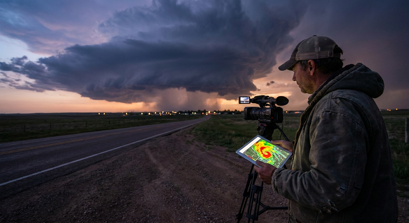
Radar Analysis Through the Climate Lens
Climate patterns don’t show up on single-site radar, but they shape what radar shows most often:
- La Niña‑leaning active Plains seasons:
- Frequent discrete supercells firing off the dryline
- Echo tops scraping the tropopause with robust overshooting tops
- Long-track supercells that cycle multiple mesocyclones
- El Niño with southern jet dominance:
- More messy QLCS systems
- Embedded circulations and quick spin-ups
- Radar signatures buried in precipitation shields
On big pattern days, I’m comparing radar velocity and reflectivity against what the upper-air pattern promised:
- Did the jet streak nose in where the models said?
- Are storms organizing along the forecasted boundaries?
- Are hodographs matching the shape suggested by the large-scale pattern?
When the climate‑driven pattern, upper-air charts, and radar all line up—those are the days you remember for years.
Safety Protocols in a Pattern-Driven World
Big patterns breed big complacency. A known “active La Niña year” can lure chasers into:
- Overconfidence on marginal days
- Complacency around QLCS tornadoes in El Niño‑favored Dixie setups
- Underestimating flood and lightning hazards in prolonged active patterns
Key safety anchors:
- Pattern ≠ Promise – A favorable climate pattern only loads the dice. Each day still demands microscale analysis.
- Respect QLCS and nocturnal events – El Niño or displaced seasons often mean more nighttime severe—no structure to see, just velocity couplets screaming on radar.
- Road and river awareness – Active patterns lead to saturated ground and washed-out roads. Flash flooding can kill a chase faster than a collapsing updraft.
How to Use Climate Patterns in Your Chase Planning
Before the Season
- Track ENSO and PDO phases. - Read seasonal outlooks focusing on jet stream anomalies. - Decide which region (Plains, Dixie, High Plains) deserves your flexible days.
1–4 Weeks Out
- Watch ensembles for recurring troughs/ridges. - Track MJO and blocking highs. - Mark likely “activation windows” of 5–10 days.
Day-to-Day
- Treat climate as background context only. - Let mesoscale analysis and morning soundings rule. - Use radar and satellite to validate whether the “big pattern” is truly in play.
Conclusion: Chase the Patterns, Not Just the Storms
Every towering supercell you chase is the visible endpoint of a story that begins with warm and cool patches of ocean thousands of miles away. Climate patterns are not a guarantee of tornadoes or structure, but they are the roadmap of opportunity.
For the storm chaser who can’t stop staring at the sky, learning these patterns is like finally seeing the gears inside the clock. The atmosphere isn’t random—it’s rhythmic, restless, and astonishingly interconnected.
And when that rhythm lines up just right, you’re there, under the vault of a rotating updraft, watching the planet’s pulse write lightning across the sky.