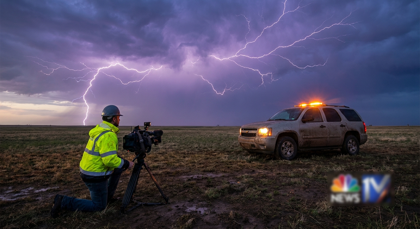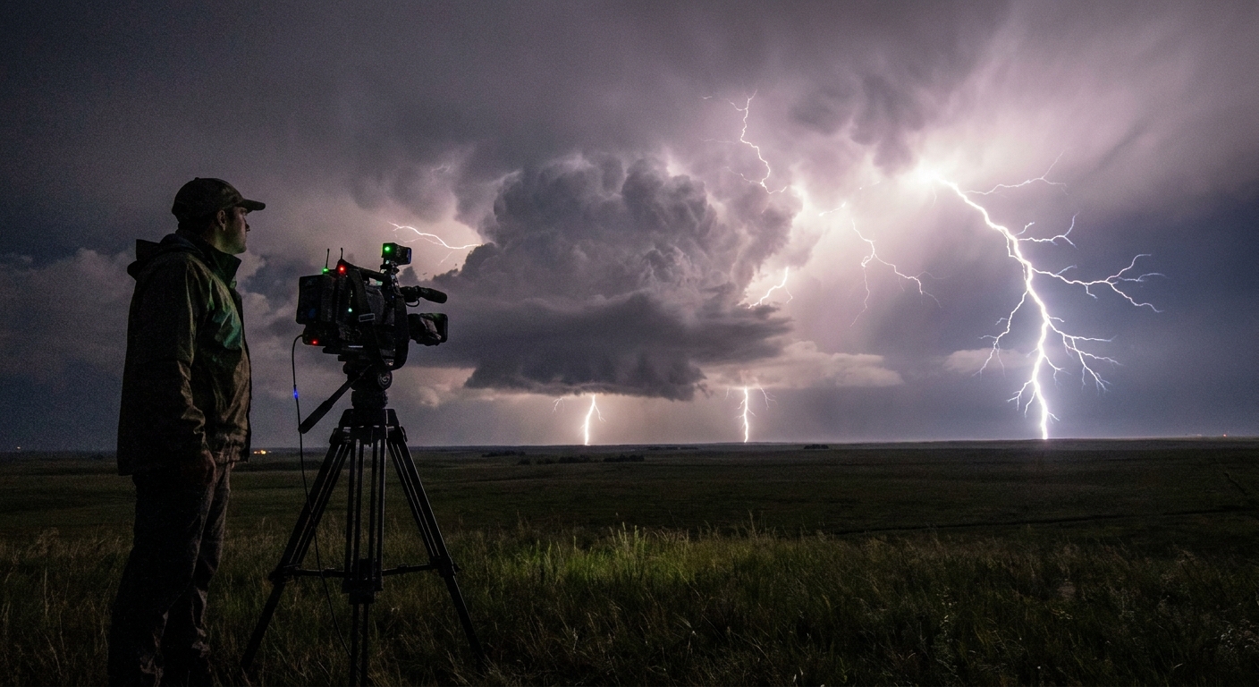
Every serious storm chaser eventually realizes this: we don’t just chase tornadoes — we chase electricity. Lightning is the first language a storm speaks when it starts to get serious, and if you learn to read that language, you’ll anticipate structure, hazards, and opportunities long before radar catches up.
Reading the Sky’s Electric Handwriting
This isn’t armchair theory. These are field notes from nights lit by strobe-light anvil crawlers and days where every strike made the hair on my arms stand up under a vaulting mesocyclone.
The Meteorology of Lightning: Why Storms Suddenly “Switch On”
Thunderstorm electrification is the direct result of updraft power and microphysics. The stronger the updraft, the more violently the storm separates charge — and the more expressive it becomes in lightning.
Charge Separation in the Updraft
Inside the updraft, three ingredients do the work:
Supercooled water droplets (liquid below 0°C)
Graupel (soft, rimed ice)
Ice crystals
These collide in the mixed-phase region (roughly -10°C to -20°C, often 15,000–25,000 ft AGL depending on environment). Collisions transfer charge between particles. Heavier graupel falls relative to lighter ice crystals, building distinct charge layers:
- Main negative charge region: mid-levels of the storm
- Main positive charge region: higher up in the anvil
- Sometimes: A lower positive charge pocket near the cloud base in intense supercells
When the electric field between these regions — or between cloud and ground — exceeds breakdown threshold, the sky fires.
Why Some Storms Are Lightning Machines
Storms that are:
- Highly sheared (strong separation of updraft and downdraft)
- Extremely buoyant (steep lapse rates, big CAPE)
- Deep and long-lived (classic supercells)
…tend to be prolific lightning producers. A rapidly intensifying updraft boosts collision rates, which ramps charge separation and suddenly you’re under a staccato barrage of CGs (cloud-to-ground) and CC/IC (cloud-to-cloud/intra-cloud) pulses.
When I see lightning rates surge on an otherwise marginal day, I start respecting that storm as if it’s about to solve a problem violently.
Anatomy of a Lightning Display in a Classic Supercell
From a chase standpoint, you can often correlate lightning character with storm structure.
1. Intra-Cloud (IC) and Anvil Crawlers
- Where it happens: High in the storm and through the anvil
- What it tells you: A deep, glaciated updraft with strong upper-level outflow
You’ll see:
- Soft, diffuse pulses inside the anvil canopy
- Long, branching anvil crawlers racing 50+ miles across the sky
Chaser takeaway: The storm is ventilated and organized aloft, and the updraft is punching high. These are the nights where the sky never fully gets dark.
2. Cloud-to-Ground (CG) Strikes near the Forward-Flank
- Where it happens: Beneath the forward-flank downdraft (FFD), often near the heaviest rain core
- What it tells you: Vigorous downdraft, strong precipitation loading, and robust charge separation
Positive CGs (+CGs) from the anvil can strike miles away from the core — the dreaded “bolt from the blue.” Even if you’re under thin cloud or totally clear sky, you may still be inside the strike radius.
Chaser takeaway: If CGs start peppering the area around you while you’re trying to reposition, you’re too close to the wrong part of the storm.
3. Lightning near the Mesocyclone
This is the electricity that raises goosebumps.
- Forked CGs dropping close to the rain-free base
- Rapid flickering outlining the vault and inflow bands
Sometimes the meso goes almost eerily quiet in lightning right before a tornado — other times, CG activity spikes along the occlusion. Either way, a visually intense lightning display often coincides with peak updraft intensity.
Field Positioning: Where I Park When the Sky Turns to Static
Balancing safety, visibility, and photography is the core of lightning positioning. My default supercell stance:
Ahead and slightly south (or southeast) of the mesocyclone in the inflow sector
Out from under the main core to avoid blinding rain and hail
Within visual on the updraft tower and anvil base so I can read structure and lightning trends
The 10-Mile Rule — and Why It’s Not Enough
Lightning regularly strikes 10–15 miles from the rain core, particularly from the anvil. If you can hear thunder, you’re well within strike range, no matter how innocent the sky looks.
In practice, during a chase, that means:
- No standing outside the vehicle during frequent CG
- No setting up a tripod in open fields when anvil crawlers are branching overhead
- No lingering at gas stations or roadside pullouts when the storm is within 15–20 miles and clearly sparking
I’ve watched multiple near-ground leaders fan out around tripods and vehicles that were just far enough from the storm for complacency to creep in.
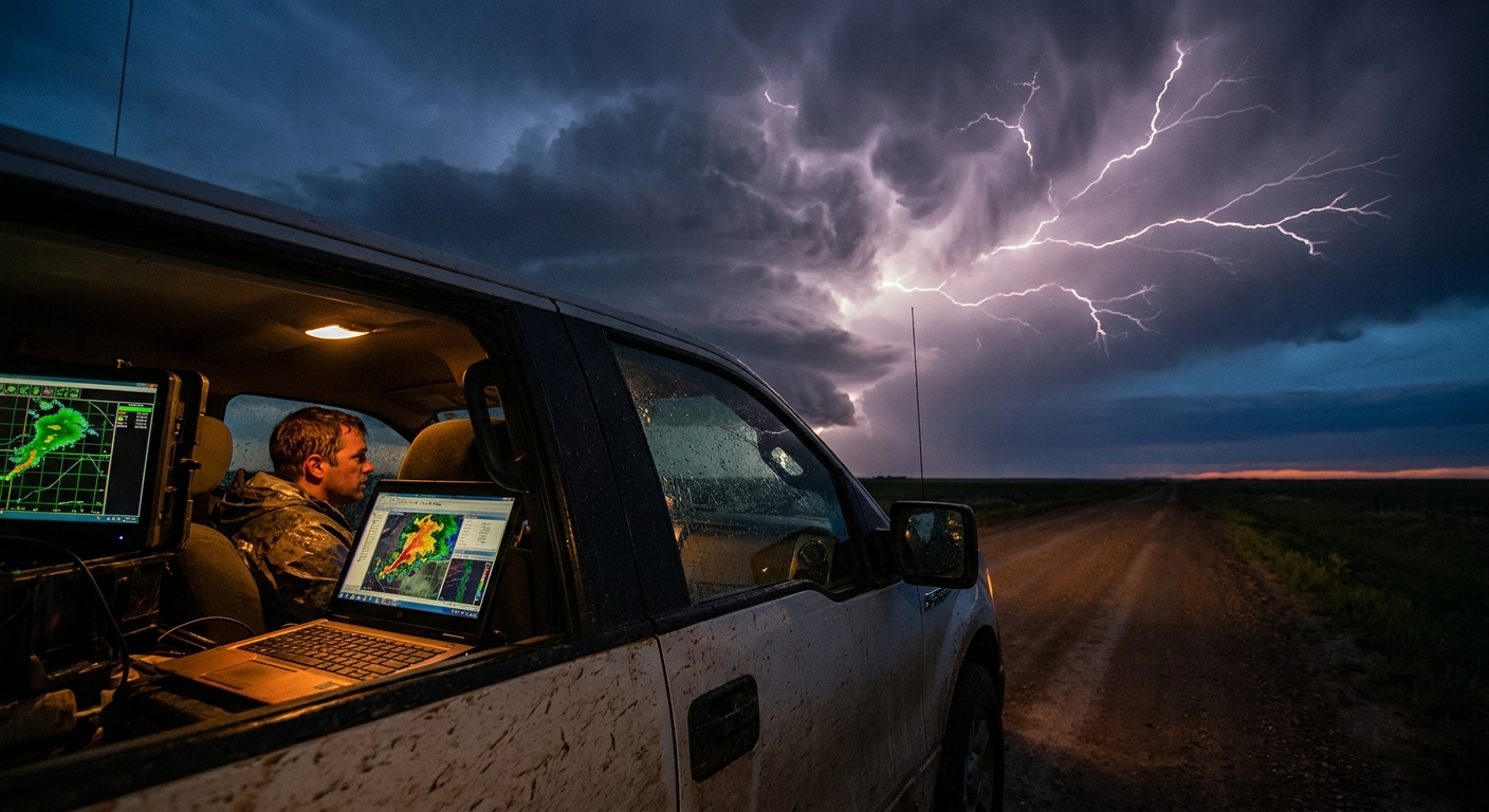
Using Radar and Data to Anticipate Lightning Behavior
You can’t see electric fields on radar, but you can see their drivers.
1. Updraft Strength and Reflectivity
Watch for:
- Explosive vertical growth on satellite (overshooting tops, rapid cooling cloud tops)
- High reflectivity cores (55–70 dBZ) building fast near the updraft
These signals often precede lightning ramps by several minutes. If GRLevel or mobile radar shows a rapidly intensifying core and tightening meso, expect lightning density and intensity to jump.
2. Dual-Pol Clues
Dual-pol products can indirectly hint at charge processes:
- High ZDR columns (tall columns of large drops) mark a juicy, intense updraft zone
- KDP maxima (heavy rain/hail) mark strong microphysical chaos where charge separation thrives
When you see a robust ZDR column punching into cold levels, consider it a neon sign: the storm’s electric factory is warming up.
3. Reference Real-Time Lightning Networks
If you have access to:
- NLDN/ENTLN/GLD360 viewer apps or third-party lightning overlays
- GRLevel3 user scripts with lightning plot support
Use them to:
- Identify where lightning is clustering relative to radar structure
- Track any uptick in +CGs versus ICs
- Decide which flank of the storm is too hot to comfortably operate in
Non-Negotiable Lightning Safety Protocols for Chasers
You can’t out-experience basic physics. No matter how many storms you’ve logged:
1. The Vehicle Is Your Primary Shelter
- Treat your vehicle as a Faraday cage: windows up, hands off metal, engine off if you’re stuck under intense CG activity
- Avoid parking under tall isolated trees, lone towers, or next to barbed wire fences
If lightning starts hammering closer than you like, get in the car and stay there.
2. Don’t Be the Highest Object
On the Plains, especially:
- Avoid ridgelines, hilltops, and exposed plateaus when storms are firing
- Skip standing right next to metal fences, camera tripods, or abandoned implements while you compose that “perfect shot”
Lightning is lazy; it’ll take the easiest path to ground. Don’t help it.
3. The 30/30 Rule — Modified for Chasers
Traditional: If the time between flash and thunder is less than 30 seconds, you’re too close; wait 30 minutes after last thunder to resume outdoor activity.
As a chaser, you won’t wait 30 minutes while chasing — but you do need to:
- Bring gear back into the vehicle if you’re under 10-second thunder
- Shut down drone flights and tall tripods in the core’s vicinity
4. After a Nearby Strike
If you:
- See a blinding flash accompanied by instantaneous crack/boom
- Feel a shock, tingle, or hair stand on end
Immediately:
- Crouch low on the balls of your feet (if outside and unable to get in car)
- Minimize contact with ground
- Get into the vehicle at the first safe opportunity
Any unusual smell of ozone, sizzling noises, or visible step leaders are final warnings.
Chase Narratives: When Lightning Becomes the Main Event
Some nights, the tornado never materializes — but the lightning steals the show.
I’ve watched a high-based supercell over western Kansas evolve into a pure electric dragon after dark. The tornado potential dropped as inhibition crept in, but the anvil kept breathing out a continuous train of crawlers. Every 2–3 seconds the entire sky lit up, revealing stacked plates, beaver tails, inflow bands — a freeze-frame slideshow of textbook structure.
We parked southeast of the storm, cameras inside the car, lenses poking out the windows. CGs peppered the fields to our north where a few less cautious chasers stood outside on tripods. One strike landed so close to a tripod that the resulting shockwave rattled our dashboards.
They packed up after that.
Those are the nights where lightning becomes more than an accessory — it’s the headline act, and the storm writes its story in veins of plasma across half a state.
Closing: Lightning as Early Warning and Final Word
To the tuned-in chaser, lightning is both:
- Early warning system: announcing updraft strength, storm health, and evolving danger zones
- Final word from a storm that may or may not drop a tornado but will always announce its presence with raw voltage
Every chase, I pay as much attention to the storm’s electric voice as I do to radar or surface obs. Tornadoes may be the prize, but lightning is the conversation — relentless, unpredictable, and utterly addictive.
If you learn to read it, you’ll not only capture better imagery and anticipate structure — you’ll also live to tell the story of the next electric night on the Plains.