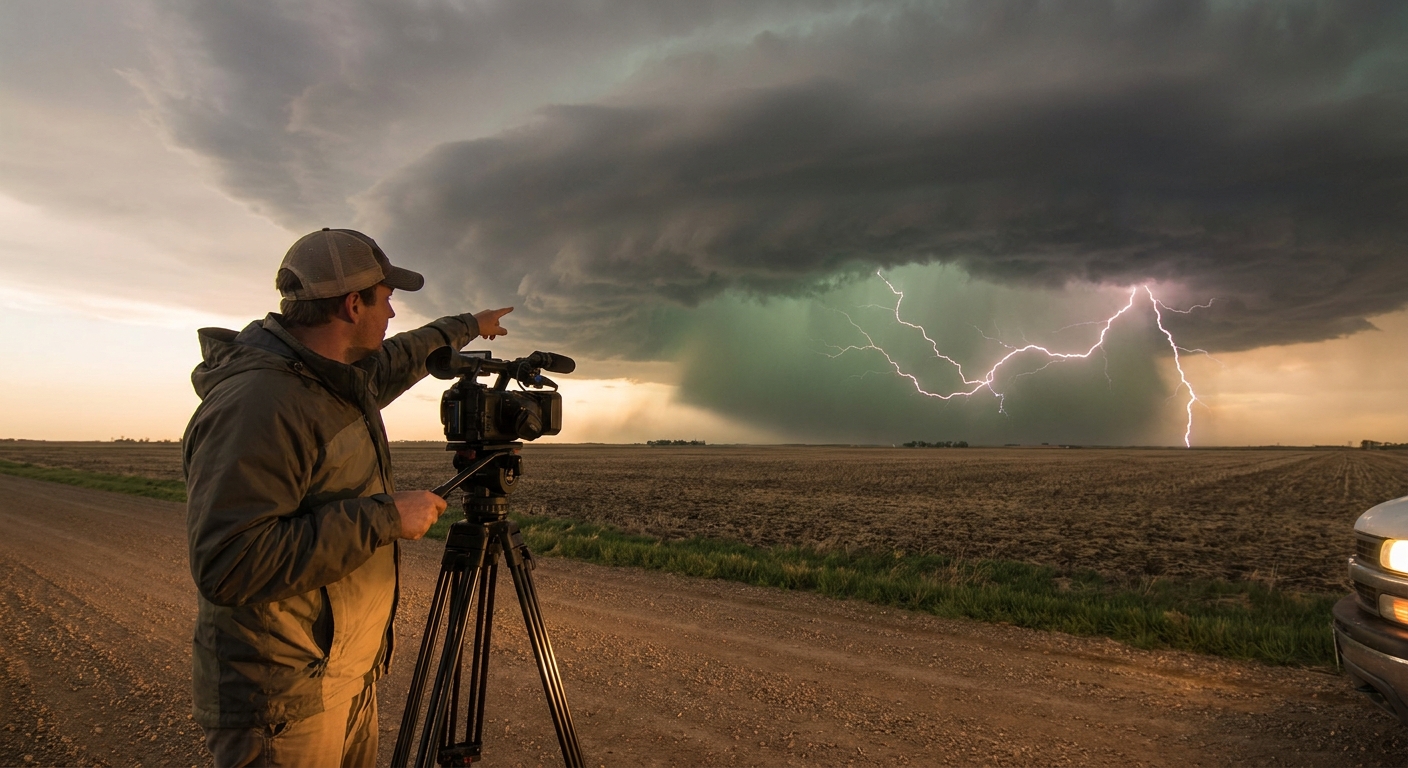
To the casual observer, lightning is just “flashes in the sky.” To a storm chaser, each type tells a different story about storm structure, severity, and risk.
Why Classifying Lightning Matters in the Field
Knowing whether you’re looking at negative CGs peppering the core, positive anvil strikes detonating miles away, or spider-like crawlers racing across the sky is more than trivia. It’s intel that helps you:
- Anticipate where the storm is strongest
- Decide where not to stand
- Prioritize which flank to intercept for structure and photography
Let’s break down the major lightning types with a chaser’s eye: what they are, how they form, what they look like, and what they’re telling you about the storm that spawned them.
The Core Categories: CG, IC, and CC
Lightning is fundamentally a charge-balancing act between different regions.
1. Intra-Cloud Lightning (IC)
What it is: Discharges that stay entirely within a single cloud.
How it forms:
- Occurs between distinct charge regions inside the storm (e.g., main negative layer and upper positive layer)
- Often dominates in the early, growing stages of a thunderstorm
What it looks like:
- Diffuse, flickering glows
- Brief, bright pulses outlining parts of the updraft or anvil
What it tells chasers:
- The storm is actively electrifying aloft
- The updraft is deep enough to create a robust charge structure
- CG activity may increase soon if IC rates ramp up quickly
In the field, I treat a sudden rapid-fire IC show as a warning shot: the storm’s electric engine is spooling up.
2. Cloud-to-Cloud Lightning (CC)
What it is: Discharges between two separate clouds or distinct cloud regions.
How it forms:
- Occurs when strong electric fields exist horizontally across cloud systems
- Common in large MCSs and sprawling anvils
What it looks like:
- Long, branching bolts arcing horizontally
- Often associated with anvil crawlers (more on those later)
What it tells chasers:
- The storm complex is widespread and highly charged
- Upper-level outflow and anvils are interacting
I often see CC surges during upscale growth in nocturnal MCSs, hinting that the event is transitioning from discrete storms to a big-road-trip squall line.
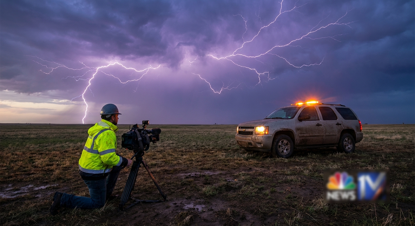
3. Cloud-to-Ground Lightning (CG)
What it is: Discharges between cloud and ground.
This is where the real chaser danger lies.
How it forms:
- A stepped leader propagates downward from the cloud
- Streamers race upward from ground objects
- When they connect, a powerful return stroke races up the channel
What it looks like:
- Classic forked bolts
- Blinding flashes with sharp, immediate thunder when close
What it tells chasers:
- Intense electric fields have extended from cloud base to ground
- You are now part of the potential circuit
CG activity pattern (location and frequency) is a map of where not to be standing outside your vehicle.
Polarity: Negative vs. Positive CGs
Not all CGs are created equal. Polarity changes the risk profile.
Negative CG (-CG)
Charge flow: Negative charge flows downward to the ground.
Common where:
- Beneath or near the main negative charge region
- Usually under and around the heavy rain/hail core
Characteristics:
- More numerous
- Often shorter duration
- Tend to be less energetic (on average) than positive strikes
Chaser implications:
- Expect a higher density of -CGs near and just ahead of the core
- If you’re core-punching or hugging the forward flank, -CGs are your constant companions
Positive CG (+CG)
Charge flow: Positive charge flows down to the ground.
Common where:
- From the upper anvil’s positive charge region
- Often well away from the main rain core
Characteristics:
- Less frequent but more powerful
- Carry higher peak currents
- Longer continuing current — more efficient at starting fires
Chaser implications:
- +CGs are the ones that nail people under blue sky
- Prime suspect for "bolt from the blue" events from distant anvils
- A sudden uptick in +CGs can correlate with severe and even tornadic phases in some supercells
In multiple tornadic supercells I’ve chased, a phase of intense +CG activity coincided with the storm tightening its mesocyclone. Correlation isn’t causation, but it’s enough to make me pay attention.
Signature Lightning Forms Chasers Obsess Over
Beyond simple categories, lightning lovers talk about specific morphologies. These are the features you photograph, dissect, and brag about.
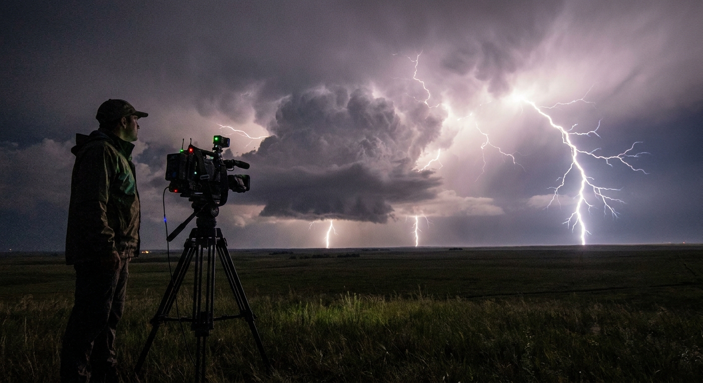
1. Anvil Crawlers
What they are: Long, horizontally branching flashes that race through the anvil canopy.
Environment:
- Mature storms with extensive anvils
- Especially prolific in elevated storms and nocturnal MCSs
Visual traits:
- Can span tens of miles
- Illuminate the entire sky in a single, sprawling web
Why chasers love them:
- They turn the whole cloud shield into a strobe-lit x-ray
- Perfect for nighttime structure photography from a safer distance
Hazard note:
- Even when the main action is 30–50 miles away, crawlers can accompany +CGs
- Don’t assume safety just because the core is distant
2. Spider Lightning
What it is: A type of horizontally extensive lightning that moves laterally across the sky near cloud base.
Where it shows up:
- High-based storms
- Elevated convection
Visual traits:
- Often appears as branching, low, fast-crawling tendrils
Spider lightning can hint at elevated or high-based convection — useful when you’re trying to gauge whether a storm will root near the surface and become tornadic.
3. Staccato Lightning
What it is: Very brief, bright, single-stroke CG flashes.
Where it shows up:
- Often on the periphery of supercells
- Sometimes near the mesocyclone region
Chaser lore:
- Many chasers associate staccato lightning near the updraft with tornadic phases
While the relationship isn’t strict, I’ve seen more than one tornado warned storm switch into a staccato mode around the time the meso tightened.
4. Superbolts
What they are: Exceptionally powerful lightning flashes — multiple times more energetic than typical CGs.
Traits:
- Can be both -CG and +CG, but many extreme examples are positive
- Rare but dramatic, perceived as intensely bright and long-lasting
Scientists define them statistically; chasers recognize them viscerally.
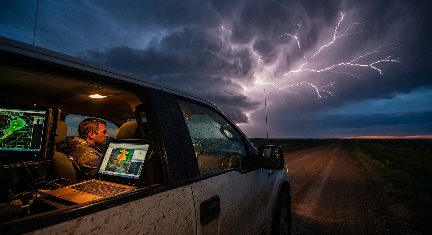
Meteorological Context: What Lightning Type Says About the Storm
Lightning behavior can be a quick proxy for storm stage and mode.
Growing Cumulonimbus
- Dominated by IC
- Few CGs at first
- Rapid ramp-up in IC frequency suggests explosive updraft growth
Mature Supercell
- Mix of IC, CC, -CG, +CG
- CGs cluster near the core and along flanks
- Anvil crawlers radiate out aloft
Watch for:
- Intensifying +CGs from the anvil as the storm organizes
- Lightning outlining inflow bands and vault regions
Squall Lines and MCSs
- Huge IC and CC production
- Forests of CGs beneath leading line and bowing segments
- Nocturnal MCSs become spectacular lightning factories
Your chasing strategy shifts here: less about isolated structure, more about staying ahead of the line and out of the barrage.
Practical Chaser Tips by Lightning Type
Putting it all together in the field:
Heavy -CG near the forward flank core
- Expect dangerous ground strikes near roads in and just ahead of heavy rain - Limit time outside the vehicle during core intercepts
Frequent +CG from the anvil ahead of the storm
- You are in the crosshairs even under clear skies - Avoid standing in open fields or on hilltops anywhere under the anvil canopy
IC strobing overhead with low CG count
- Storm is electrified aloft, possibly still maturing - Use the light show to watch structure, but prepare for a CG ramp-up
Anvil crawlers on the backside of a departing MCS
- Great opportunity for safer long-lens photography from a distance - Still respect sporadic +CGs embedded in the show
Chasing with Curiosity and Respect
Each type of lightning is a clue: a real-time annotation on radar structure, thermodynamics, and storm evolution. The more fluently you read those clues, the better you’ll:
- Anticipate severe phases
- Position for both safety and aesthetics
- Tell richer stories with your photos and logs
Lightning is the storm’s nervous system firing in plain view. Study its patterns, and the atmosphere starts to feel less like chaos and more like a living machine — one you’ll never fully tame, but can learn to chase with informed awe.