Some days, the tornado never shows. The cap wins, the boundary slips away, or shear underperforms. But the sky still explodes with electricity.
Lightning as a Chase Target
If you know how to forecast it, you can intentionally chase lightning — building days around electric potential instead of just tornado odds. The best lightning setups can turn an otherwise marginal severe day into a night you’ll never forget.
Here’s a step-by-step guide, from model analysis at home to micro-positioning in the field, focused entirely on one thing: finding the storms that will absolutely light up the sky.
Step 1: Scan the Synoptic Setup for Deep Convection Potential
Lightning requires tall, vigorous updrafts. Your first question: Will we get deep convection at all?
Look for:
Lift
- Surface fronts, drylines, outflow boundaries - Upper-level troughs or shortwaves - Jet streaks enhancing divergence aloft
Instability (CAPE)
- MLCAPE > 1500 J/kg is a solid baseline for robust electrification - Steep mid-level lapse rates (> 7°C/km) favor strong updraft acceleration
Moisture
- Surface dewpoints in the mid 60s°F and up in the Plains - Deep moisture profiles, not just a shallow moist layer
If models show widespread deep convection with healthy CAPE, you’re halfway to a lightning show.
Step 2: Identify Storm Modes That Favor Lightning Production
All thunderstorms flash, but some flash furiously.
1. Classic Supercells
Why they’re electric gold:
- Strong, persistent, rotating updraft
- Excellent separation of updraft/downdraft
- Deep, long-lived charge regions
Look for:
- Backed surface winds and turning hodographs
- 0–6 km shear > 35–40 kt
- Discrete convection along boundaries
If models like HRRR, NAM, or convection-allowing ensembles show isolated supercells, you can bet on a robust lightning display.
2. Elevated Storms and Nocturnal MCSs
These can become insane lightning factories, especially after dark.
Clues:
- Strong low-level jet (LLJ) after sunset
- Elevated instability above a stable boundary layer
- Upscale growth into lines and clusters
MCS anvils at night are prime territory for anvil crawlers and constant IC strobing.
3. Pulse Storms in High Instability
Even poorly sheared storms can be prolific for short windows if:
- CAPE is extreme (2500–4000+ J/kg)
- They pulse up into strong, short-lived updrafts
You’ll get brief but violent lightning bursts — ideal for localized, short chases.
Step 3: Use Model Soundings to Gauge Lightning Efficiency
Open forecast soundings (e.g., via BUFKIT, Pivotal, or COD) in your target corridor and scan for key features.
1. Depth of the Mixed-Phase Region in the Updraft
Lightning thrives where supercooled liquid water and ice collide.
Check:
- Height of the 0°C, -10°C, and -20°C levels
- Depth of strong updraft through this zone
A tall storm with strong vertical velocities through the -10°C to -20°C layer is primed for significant electrification.
2. Liquid Water Content and Instability
- High CAPE concentrated in the mid-levels (strong updrafts)
- Moderately deep warm cloud layer (helps supply hydrometeors for charge separation)
Look for fat CAPE profiles — not skinny and shallow. Fat profiles mean wide, robust updraft columns.
3. Shear and Storm Longevity
- Shear that supports storm organization and persistence
- Long-lived updrafts = more time to develop complex charge structures
Short-lived multicells can still flash, but the repeat performers will be long-lived supercells or organized MCSs.
Step 4: Target Zones for Maximum Lightning Density
Once you’re locked onto a region, refine to specific mesoscale targets.
1. Boundaries as Lightning Multipliers
- Outflow boundaries
- Differential heating zones
- Dryline bulges
These focus convergence, locally intensify updrafts, and can create favored corridors for highly electrified storms.
I often prioritize storm intersections with old outflow boundaries — they seem to breathe extra life into updrafts, and the lightning responds.
2. Orographic Influences
- High plains upslope regimes against terrain (CO/KS/WY/NE)
- Mountains triggering repeated initiation
Upslope flow repeatedly fires storms along the same corridor, building layered anvils and long-lived electric displays.
3. Evening and Overnight Enhancement
Many of the best lightning chases happen after dark when:
- LLJ ramps up, feeding storms
- Storms grow upscale into MCSs
- Anvils spread, filling half the sky
Plan your fuel, lodging, and routes expecting your prime time to be 9 PM–2 AM local, not just 4–8 PM.
Step 5: Nowcast with Radar, Satellite, and Lightning Data
Day of chase, it’s time to refine forecasts into real-time targeting.
1. Radar Clues of a Lightning Beast
Watch for:
- Explosive reflectivity growth (rapid intensification of cores)
- Echo tops surging higher than surrounding storms
- Persistent, isolated supercell signatures
If one storm is consistently taller and more intense than its neighbors, that’s your lightning anchor.
2. Satellite: Overshooting Tops and Cold Anvils
Use GOES visible/IR:
- Overshooting tops = powerful updrafts punching through anvil level
- Very cold, expanding anvils = vigorous upper-level outflow
Pair this with knowledge of mid-level temps to estimate how deep the mixed-phase region is — deeper plus stronger updraft means more electrification.
3. Lightning Detection Networks
If you have access (apps or web):
- Compare storm-to-storm flash rates
- Look for density hotspots where CG/IC counts spike
- Track anvil lightning extent away from parent storms
Your chase play becomes obvious: intercept the storm or segment that’s consistently out-flashing the rest.
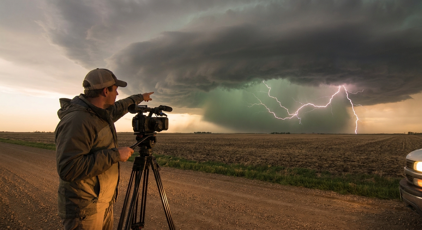
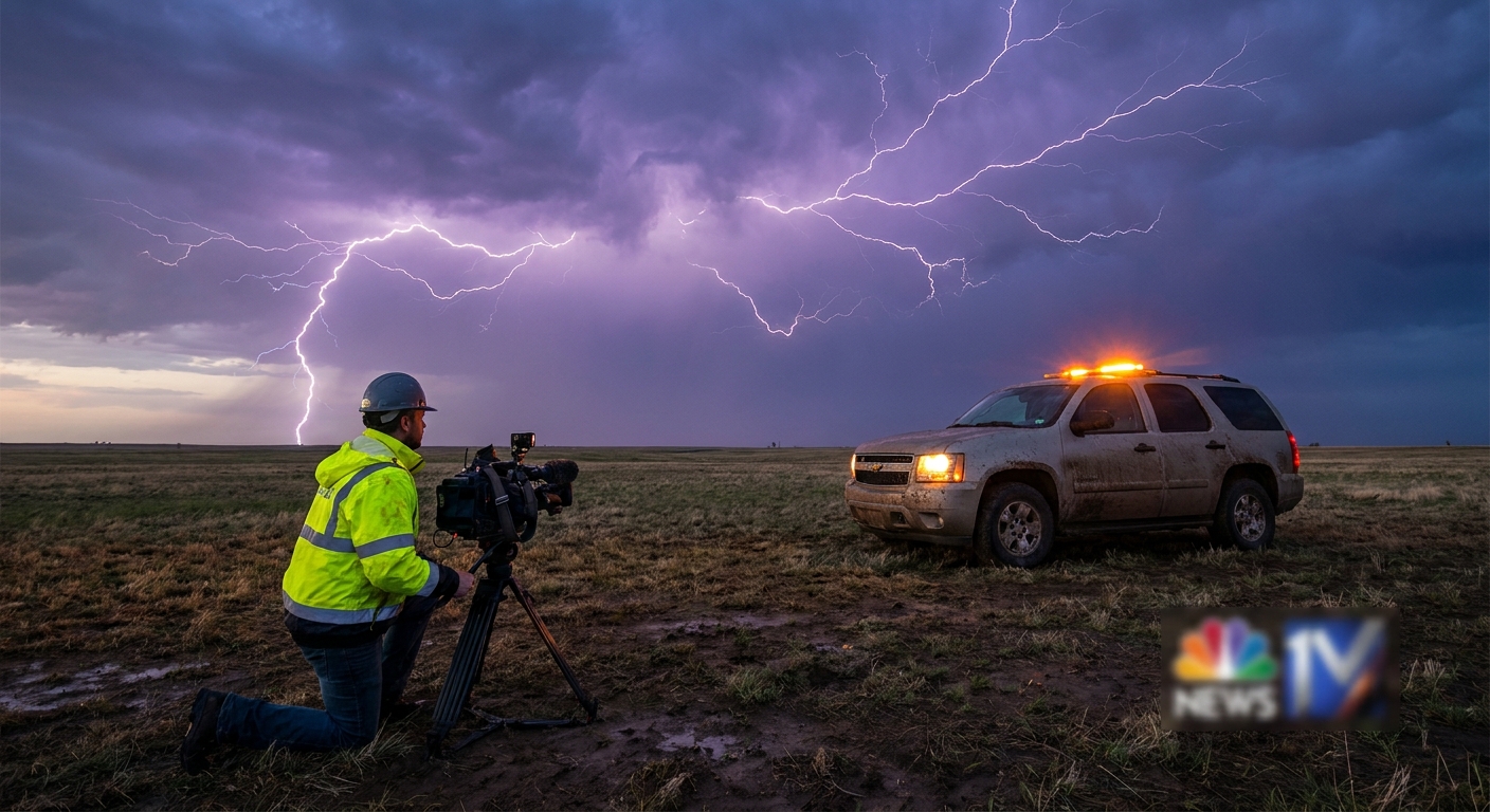
Step 6: Field Positioning for Lightning-First Chasing
When lightning is your primary target, your positioning priorities shift.
1. Stay Ahead and Slightly Off to the Side
Ideal spot for a classic supercell:
- On the storm’s inflow side, ahead of the mesocyclone
- Far enough from the core to stay out of blinding rain/hail
- With a clear view of the updraft, base, and forward flank
This lets you:
- Capture CG bolts near the core and meso
- Watch IC pulses illuminate structure
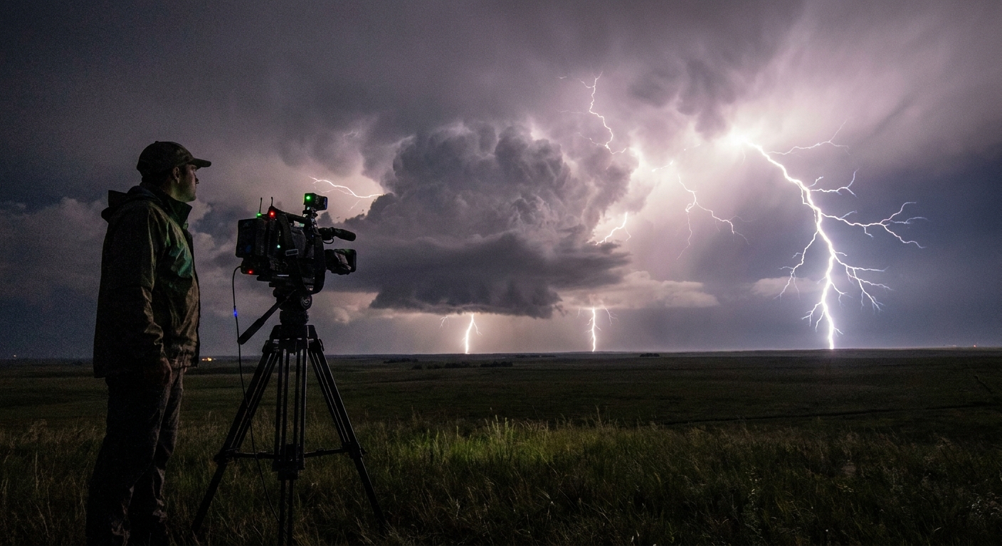
2. Use the 10–20 Mile Electric Halo Wisely
You don’t need to be underneath the tower.
- Many of the most spectacular electric displays come from 10–30 miles away
- Especially true for anvil crawlers and +CG from MCSs
For MCS lightning chases, I often:
- Sit 20–40 miles downwind or crosswind of the line
- Let the system approach while it paints the sky
3. Urban vs. Rural Considerations
- Rural: Fewer lights, cleaner horizons, more exposure to being the tallest object
- Urban/periphery: More foreground elements, better shelter options, but cluttered horizons
Favor locations where you can:
- Retreat to a vehicle or building quickly
- Avoid standing next to tall isolated objects or metal structures
Step 7: Gear and Technique for Capturing the Show
This guide is meteorology-first, but a lightning chase isn’t complete without the capture.
Camera Settings (Baseline)
At night:
- Manual mode
- ISO 100–400
- Aperture f/5.6–f/8
- Shutter 5–20 seconds (with remote or intervalometer)
In twilight:
- Shorter exposures (1–5 sec)
- Adjust ISO and aperture to avoid blown-out bolts
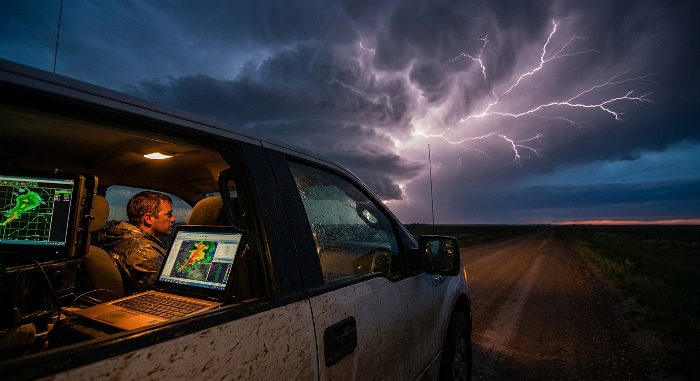
Radar and Data Management
- Mount your tablet/phone where you can check radar without leaving the driver’s seat
- Pre-download offline maps
- Use audio alerts or quick glances; don’t bury your eyes in screens while the storm evolves
Most important: Make every step in your imaging workflow compatible with staying inside the vehicle when lightning ramps up.
Step 8: Knowing When to Call the Chase
Lightning chases are seductive; the show often peaks well after midnight. But fatigue and complacency are hazards too.
Call it a night when:
- Storms weaken, with tops warming and flash rates dropping
- The line overtakes you and forces you into heavy-core driving
- You’re too tired to maintain disciplined safety habits outdoors
Lightning is unforgiving of slow reactions. Don’t push into the hours where your instincts dull.
Turning Electric Potential into Electric Nights
Forecasting lightning isn’t mystical. It’s a logical extension of storm forecasting with extra attention to updraft depth, storm longevity, and mixed-phase microphysics.
If you:
- Pick days with robust instability and organized storm modes
- Use soundings to confirm deep, strong updrafts
- Track overshooting tops, intense cores, and flash density
- Position downwind and off to the side of the strongest cells
…you’ll stack your chase log with nights where the sky never really gets dark.
Tornadoes may headline the forecast discussions, but lightning is the constant, urgent pulse of the atmosphere. When you start targeting it deliberately, the Plains transform into an endless, electric theater — and you’re finally choosing seats in the brightest row.