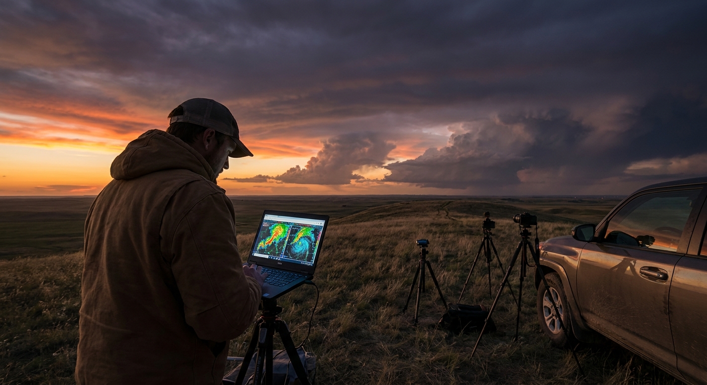
When you’re parked on a dusty section road, staring at a thickening cumulus field, it’s easy to feel like the atmosphere begins and ends with today’s 500 mb chart. But that chart is just a snapshot of a longwave story—a narrative driven by climate patterns that operate over thousands of miles and months at a time.
Standing in the Shadow of a Longwave Trough
As storm chasers, we live in the mesoscale: boundaries, hodographs, localized convergence. Yet the mesoscale chaos is often born from quiet, persistent planetary-scale patterns. If you want to understand why some seasons go nuclear and others are all cap and no payoff, you have to zoom out—way out.
The Longwave Framework: Ridges, Troughs, and Blocking
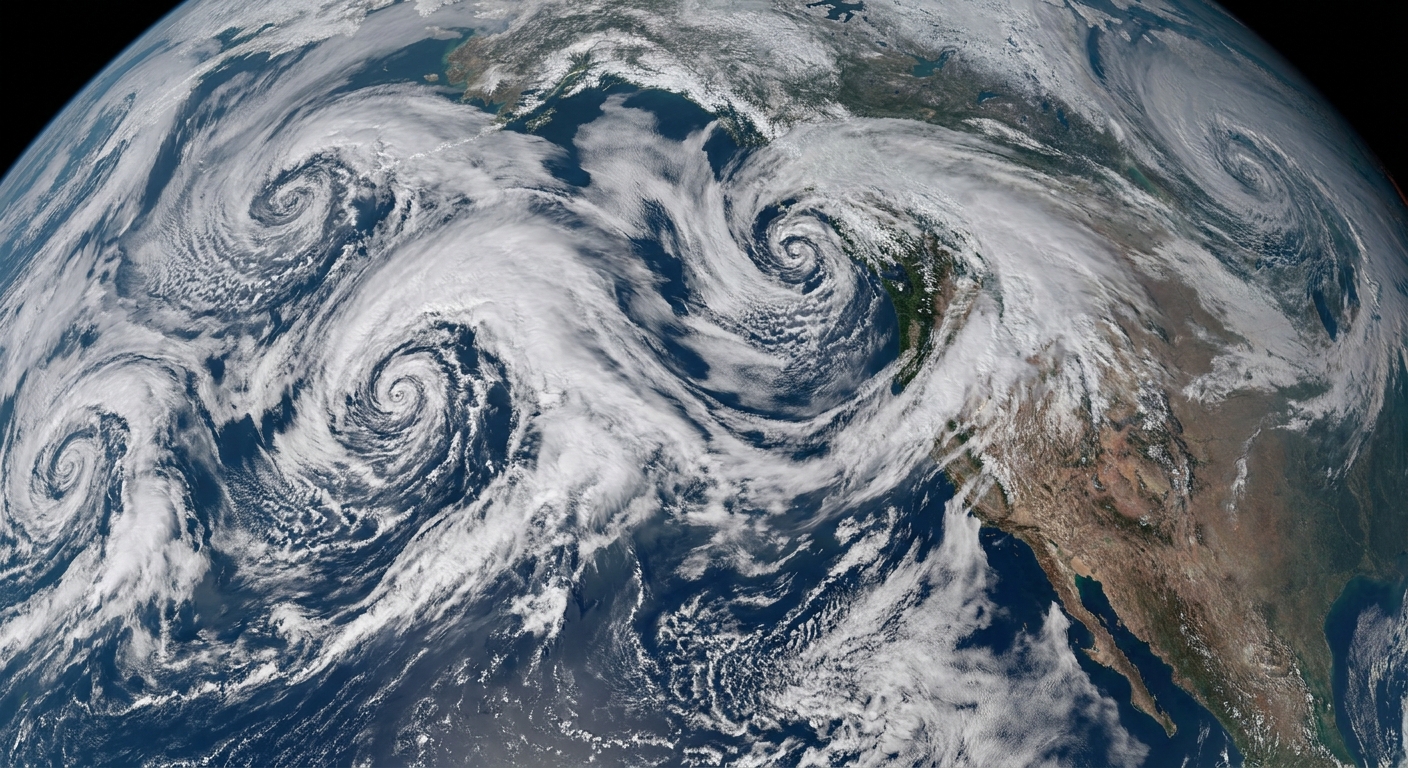
The jet stream arranges itself into longwave patterns: broad ridges and troughs spanning entire continents.
Key longwave regimes:
- Western trough / Eastern ridge – A classic for Plains severe:
- Southwest flow aloft.
- Frequent lee cyclogenesis.
- Dryline and warm front setups.
- Western ridge / Central/Eastern trough – Can favor:
- Cool, stable Plains.
- More severe risk shifted to Dixie or the East Coast.
- Omega blocks / Rex blocks – Stagnant patterns:
- Long-lasting ridges or troughs.
- Days of busts or multi-day outbreak sequences.
These patterns are strongly influenced by climate modes like ENSO, PDO, AO, and NAO.
Climate’s Hand on the Longwave Steering Wheel
ENSO and Jet Stream Displacement
ENSO alters the mean jet stream path across the Pacific and North America:
- La Niña often:
- Shoves the Pacific jet north.
- Encourages a western U.S. trough (especially in late winter and spring).
- Supports frequent southwest flow over the Plains.
- El Niño often:
- Enhances a southern jet.
- Favors active storminess across the southern tier.
These preferred jet placements become the tracks along which longwave troughs and ridges ride.
AO/NAO and Blocking
The Arctic Oscillation (AO) and North Atlantic Oscillation (NAO) modulate blocking:
- Negative AO/NAO:
- More blocking over high latitudes.
- Tendency for deeper eastern U.S. troughs.
- Potential for cool-season severe along the Gulf and East Coast.
- Positive AO/NAO:
- Stronger, more zonal flow.
- Faster-moving systems, sometimes shorter windows for discrete supercells.
For chasers, these modes color which longwave regime dominates your season.
From Longwave to Mesoscale: The Cascade
Step 1: Longwave Trough Position
A western U.S. trough creates:
- Broad height falls over the Rockies.
- Strong mid-level southwest winds over the Plains.
- A corridor for shortwave impulses.
Step 2: Shortwaves Riding the Flow
Embedded shortwave troughs ride through the longwave pattern, each:
- Enhancing upper divergence.
- Deepening surface lows.
- Tightening gradients and sharpening boundaries.
These are the specific chase days.
Step 3: Mesoscale Responses
Each shortwave and surface low combo leads to:
- Drylines mixing east.
- Warm fronts lifting north.
- Outflow boundaries from prior convection.
This is where storm chasers live.
But none of this happens in a vacuum. Climate patterns tilt the odds toward certain longwave frameworks that then pump out these mesoscale events like clockwork—or lock them up for weeks.
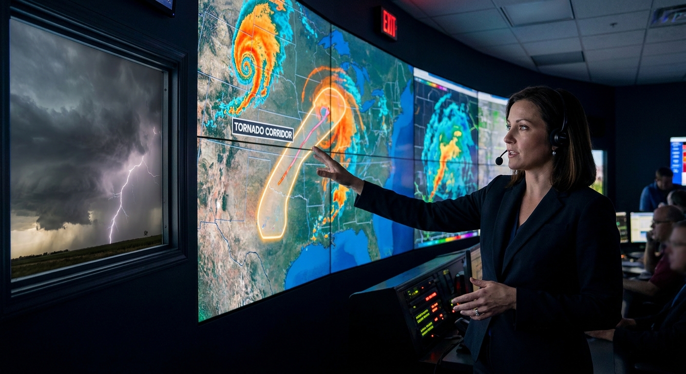
Radar Analysis in the Context of Longwave Patterns
On a chase day, radar is hyperlocal. But interpretation improves when you know the bigger wave you’re surfing.
Under a Western Trough (La Niña‑favored)
Radar patterns you’ll often see during a multi-day longwave trough:
- Day 1–2: More scattered convection, sometimes messy as the pattern “spins up.”
- Peak days:
- Well-organized dryline supercells.
- Clean inflow regions and strong, persistent mesocyclones.
- Repeated rounds along a corridor (e.g., TX Panhandle → OK → KS).
Knowing you’re in a multi-day regime, you can:
- Pace your chasing; not every marginal day is worth exhausting yourself.
- Recognize when the longwave trough is starting to deamplify—storms may become more linear or less potent.
Under a Blocked Pattern
Persistent ridges or blocks often yield:
- Day after day of capped, blue-sky busts (“death ridge”).
- Or relentless training MCSs and flooding if you’re on the wrong side of the block.
Radar may show:
- Repeated nocturnal MCS complexes riding the same track.
- Weak or absent discrete supercell modes.
Knowing you’re in a blocked regime:
- Prevents you from overcommitting to days that are structurally doomed.
- Highlights non-tornadic hazards like flooding and large hail swaths.
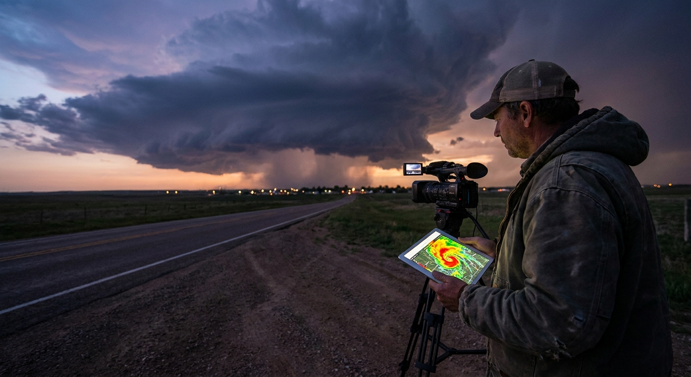
Field Story: Riding a Longwave Outbreak Sequence
One late May, ensembles had been screaming for days about a deep, slow-moving western trough—a textbook La Niña signature.
For nearly a week:
- Each afternoon, shortwaves rotated through the southwest flow.
- Each morning, we’d wake up to mesoscale boundaries left behind by overnight convection.
Radar on Day 3 of the sequence showed:
- Early morning MCS decaying and leaving an outflow boundary.
- By mid-afternoon, new towers erupting along that boundary intersecting the dryline.
The resulting storm:
- Latched onto the boundary.
- Displayed an intense, anchored mesocyclone on radar.
- Went on to produce multiple tornadoes as it tracked along the enhanced shear corridor.
That mesoscale magic—boundary + dryline + timing—was only possible because a stubborn longwave trough, rooted in a climate-favored pattern, kept sending shortwaves through the same region.
Safety Protocols in Prolonged Patterns
Longwave regimes don’t just shape storms—they shape how chasers behave over time.
In Extended Outbreak Sequences
Dangers:
- Fatigue – Multiple chase days in a row degrade judgment.
- Risk normalization – Daily exposure to tornadoes makes close intercepts feel routine.
- Resource strain – Fuel, data, and local infrastructure get stressed.
Safety strategies:
- Build in mandatory down days, especially if SPC outlooks are trending downward.
- Rotate responsibilities in the car: driver, navigator, radar, photographer.
- Remember that every day is someone’s first tornado—be respectful in impacted communities.
In Stagnant Ridges
Dangers:
- Desperation chasing – Overvaluing marginal days out of boredom.
- Overtravel – Making long drives for setups with poor structural potential.
Safety strategies:
- Accept the pattern. Use ridge weeks to review data, refine forecasting skills, and scout new terrain.
- Don’t let climate-driven frustration push you into risky terrain (trees, poor roads) for low-reward events.
Practical Checklist: Linking Climate Patterns to Chase Decisions
Use this checklist throughout the year:
Offseason / Early Season
- Identify the dominant climate pattern (ENSO, PDO, AO/NAO tendencies). - Anticipate likely longwave regimes (western trough vs. ridge, etc.).
Weekly
- Review ensemble mean 500 mb height anomalies. - Ask: Are we amplifying, deamplifying, or blocking?
Chase Week
- Note where shortwaves are tracking within the longwave pattern. - Identify repeating mesoscale corridors (dryline zones, outflow-rich areas).
Chase Day
- Use climate and longwave context as background only. - Let soundings, surface obs, satellite, and radar rule your tactical decisions.
Why This Matters for Every Storm Chaser
Understanding climate patterns and longwave regimes doesn’t mean you can call your shots months out. But it does mean:
- You’ll waste fewer miles chasing doomed setups.
- You’ll better anticipate storm modes, hazards, and multi-day sequences.
- You’ll respect how a months-long pattern can lull you into fatigue or push you into unnecessary risks.
In the end, that moment of standing under a rotating base, watching a wall cloud descend, is always local and immediate. But the forces that placed you there—the trough, the jet, the ENSO phase—are vast and distant.
Learn to see both at once: the mesocyclone on radar and the longwave wave that birthed it. That’s where urgent awe lives, for those of us who chase the madness written by climate patterns in the sky.