Put two storm chasers under the same supercell and you’ll often see two very different rigs.
When Old-School Meets High-Tech Under a Rotating Sky
One has a laptop lit with Level II radar, GPS overlays, dual-pol products, and live spotter network feeds. The other has a dog-eared road atlas, a handheld radio, a handheld anemometer—and decades of experience reading the sky.
Which rig wins when a classic Plains supercell goes from towering cumulus to tornadic monster?
The answer isn’t obvious. To find it, let’s walk through an actual-style chase scenario and pit analog and digital weather gear—side by side—at each critical decision point.
The Setup: Dryline Magic in the Panhandle
Forecast: Strong south-southeast surface flow, 60s dewpoints pooling along a sharpening dryline, 40–50 kt of deep-layer shear, and curved hodographs. SPC issues an enhanced risk with a 10% hatched tornado area.
Two chasers roll out:
- Analog Alex:
- Paper maps.
- Handheld NOAA weather radio and scanner.
- Handheld anemometer and compass.
- Visual observation skills, notebook, and camera.
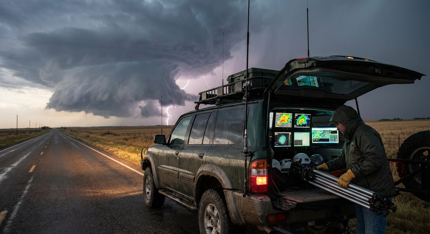
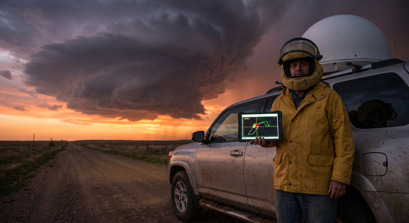
- Digital Dana:
- Laptop with advanced radar software (multi-tilt, dual-pol).
- Tablet backup with radar app.
- GPS puck feeding real-time location to radar.
- Multi-carrier mobile data setup.
We’ll follow them through key phases of the chase, comparing how their gear affects safety and storm analysis.
Phase 1: Target Selection Before Initiation
Analog Gear in Action
Alex:
- Studies SPC outlook printed from the morning.
- Compares surface analyses and hand-drawn isobars.
- Tunes in NOAA radio for mesoscale discussions.
- Uses a pencil to mark the dryline position and triple-point region on the map.
Analog strengths:
- Forces deliberate thinking about boundaries.
- Builds a mental map of the synoptic setup.
Digital Gear in Action
Dana:
- Pulls up real-time mesoanalysis on the laptop.
- Watches MLCAPE, effective bulk shear, and 0–1 km SRH fields evolve.
- Overlays surface obs—temps, dewpoints, winds—directly on the map.
Digital strengths:
- Sees subtle boundaries sharpening, like a pre-frontal trough.
- Tracks moisture return and backed surface winds in near real time.
Edge: Digital, for faster, finer-scale targeting—but only if the user understands the meteorology behind the colorful fields.
Phase 2: Early Storm Initiation and First Moves
Convection fires along the dryline.
Analog Play
Alex:
- Listens to radio for first storm reports and special weather statements.
- Uses Mark I eyeballs to spot towering CU that are more robust—stronger updrafts, crisp edges, persistent growth.
- Chooses the southernmost dominant tower (classic strategy) based on visual cues and occasional NWS updates.
Analog strengths:
- Visual storm selection can outperform radar in the very earliest stages before strong reflectivity returns appear.
Digital Play
Dana:
- Monitors radar for earliest 30–40 dBZ cores.
- Observes which storm quickly acquires mid-level rotation on velocity products.
- Checks satellite loops overlaid with surface data, confirming which tower is anchored on the best boundary.
Digital strengths:
- Sees which cell is ingesting the best shear and moisture combination even if it isn’t visually dominant yet.
Edge: Tie. Analog can excel visually at very early stages, digital gains ground as soon as radar and satellite show structure.
Phase 3: Supercell Maturation and Safety Positioning
One storm rapidly organizes into a classic supercell with a clear inflow notch and developing hook.
Analog Positioning
Alex:
- Observes low-level cloud motions: inflow bands, veering winds at the surface.
- Notes a rotating wall cloud forming on the south side of the mesocyclone.
- Uses map and compass to stay southeast of the updraft, avoiding the forward flank core.
Analog strengths:
- Deep understanding of visual structure.
- Clear conceptual model: stay out of heavy rain to maintain visibility.
Risks:
- Harder to track storm deviations, like right-turns, without live radar.
- If the storm cycles or a new meso develops, transitions may not be obvious until late.
Digital Positioning
Dana:
- Watches the hook echo on base reflectivity.
- Uses storm-relative velocity to see the mesocyclone tighten and begin a right turn.
- Notes the RFD surge wrapping around the circulation.
- With GPS overlay, adjusts one or two grid roads over to maintain the ideal southeast vantage.
Digital strengths:
- Anticipates storm motion changes before they’re obvious visually.
- Sees multiple mesocyclones or evolving rear-flank structure even in obscured visibility.
Edge: Digital, for precise, safety-critical positioning—especially in messy or HP structures.
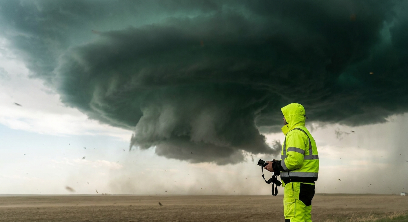
Phase 4: Tornado Genesis and Radar vs. Eyeballs
The storm starts cycling hints of tornadogenesis.
Analog Detection
Alex:
- Spots rising and tightening motion in the wall cloud.
- Notes surface winds backing and intensifying.
- Sees dust begin to spin up on the ground beneath the rotating base.
Analog strengths:
- Detects rope funnels, brief spin-ups, and multi-vortex structure extremely well at close range.
- Can call in visual reports to NWS even before radar signatures mature.
Digital Detection
Dana:
- Sees gate-to-gate shear increase in the lowest velocity tilt.
- Watches correlation coefficient drop, indicating debris when a tornado is on the ground.
- Anticipates tornado occlusion as the RFD wraps and velocity couplets shift.
Digital strengths:
- Confirms rain-wrapped tornadoes invisible to the naked eye.
- Offers life-saving early warning when visual contrast is poor or terrain is obstructed.
Edge: Mixed. Analog excels in clear, close-range structure; digital wins decisively in low-visibility and HP settings.
Phase 5: Core Punch Temptation and Escape Decisions
As the storm drifts east, both chasers face a classic dilemma: a possible core punch vs. a long south-then-east re-position.
Analog Decision-Making
Alex:
- Judges from cloud motion and darkness that the core contains large hail.
- Knows from experience that punching the core without radar is flirting with blind circulation.
- Takes the longer, safer re-position route.
Analog strengths:
- Experience-driven caution.
Weakness:
- No precise knowledge of where the circulation is inside that rain curtain.
Digital Decision-Making
Dana:
- Sees reflectivity core with a weak echo region aloft (BWER) and strong inflow.
- Checks velocity to confirm the exact location of the mesocyclone.
- In theory could thread the gap between core and hook.
If disciplined:
- Chooses the safer re-position anyway, using radar to avoid being overtaken by a right-turning meso.
If reckless:
- May be seduced into a risky core punch because “the data says it’s fine.”
Edge: Depends on the human. Gear amplifies judgment; it doesn’t replace it.
Phase 6: Post-Storm Analysis and Learning
Chase ends. Both chasers review the day.
Analog Debrief
Alex:
- Writes detailed log entries:
- Times of structure changes.
- Wind shifts and pressure (from handheld meter).
- Hail size, tornado appearance, RFD strength.
- Sketches storm structure from memory.
Analog strengths:
- Deep mental imprinting—excellent for long-term pattern recognition.
Digital Debrief
Dana:
- Replays radar loops with GPS track overlaid.
- Aligns dash cam footage with velocity signatures.
- Compares timing of tornado warning issuance with debris signature onset.
Digital strengths:
- Precise time alignment between observations and radar.
- Laser-focused learning about specific radar tells that preceded visible phenomena.
Edge: Digital, for quantifiable, time-synced analysis; analog logs remain a priceless complement.
What This Showdown Really Proves
In violent weather, analog vs. digital is a false dichotomy. The most resilient storm chasers are hybrids:
- They use digital gear (radar, GPS, data) to understand the storm’s internal structure and motion.
- They use analog gear and skills (eyes, maps, radios, notes) to maintain situational awareness when tech fails—and to truly see the storm’s physics in action.
Gear Synergy: Building Your Hybrid Kit
Essentials from both worlds:
- Digital:
- Laptop/tablet with advanced radar.
- GPS with live overlay.
- Reliable multi-carrier data.
- Analog:
- Paper road atlas.
- Handheld NOAA radio/scanner.
- Handheld anemometer and notepad.
Combine them, and you:
- Stay oriented when data drops.
- Keep chasing when batteries die.
- Validate radar with real sky, and vice versa.
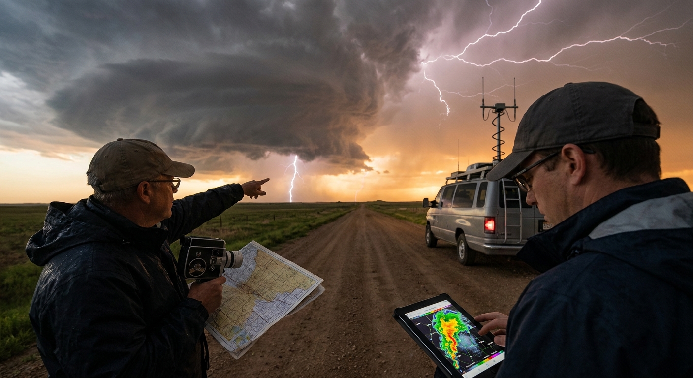
Final Word from the Field
On one of my most memorable days, I watched a classic supercell stack plates against a crimson sky near sunset—striation lit like a cathedral ceiling. Radar on my laptop confirmed a strong, cycling mesocyclone; my analog notebook recorded inflow smells, pressure trends, and visual cues.
When a brief tornado spun down, it was radar that told me where to expect it—and my eyes that caught its first ghostly rope form in the hazy base.
It wasn’t analog or digital weather gear that made that chase unforgettable. It was the interplay between both, under a storm that reminded me yet again: the atmosphere is always ahead of us, daring us to keep up.
Build your kit not around tech fads, but around one goal—understanding and surviving the next storm better than the last.